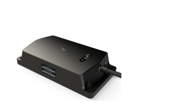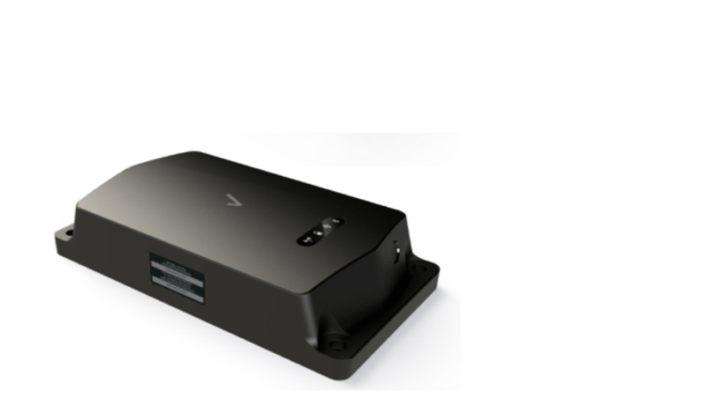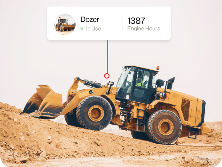
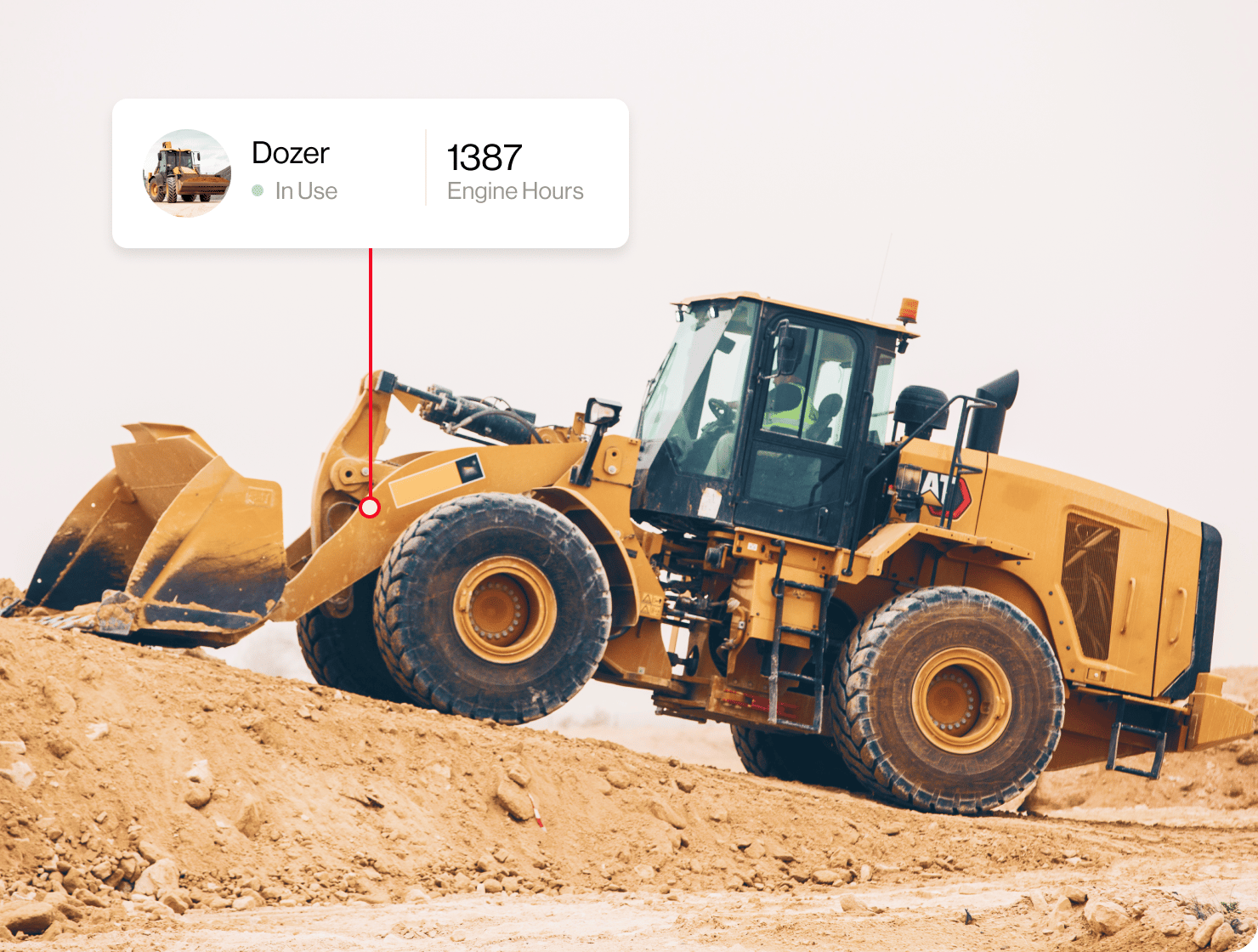

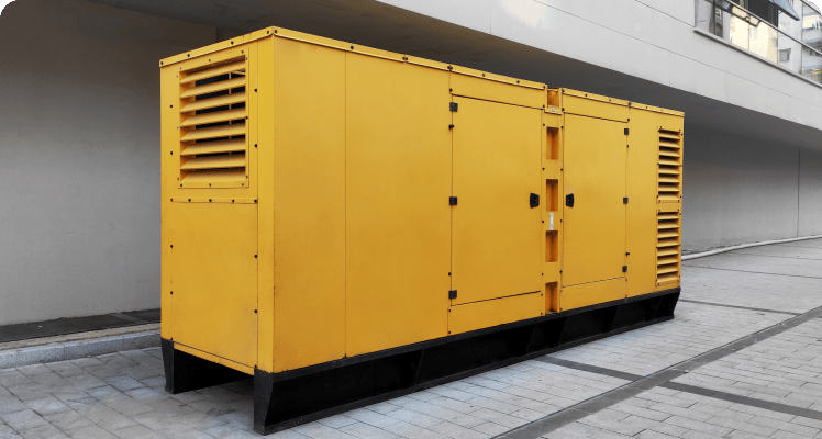
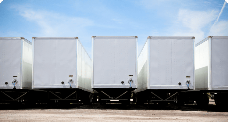

Our platform delivers specialized tracking purpose-built for your unique machinery, complex compliance rules, and field workflows, giving you complete operational visibility.
- Deploy custom map overlays and GIS data to view proprietary land grids, utility lines, and parcel boundaries
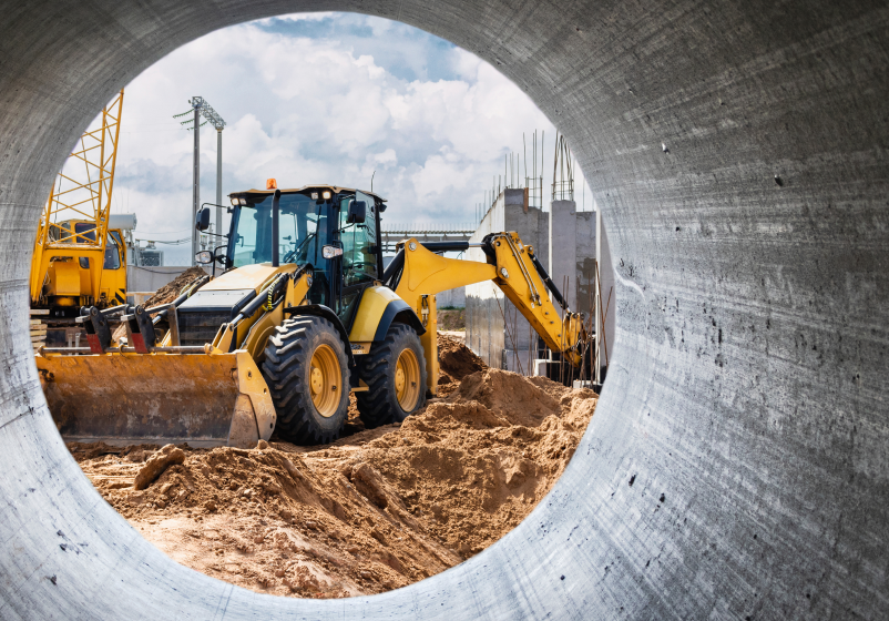
- Centralize mixed fleets on a single screen, uniting heavy construction machinery alongside unpowered field equipment
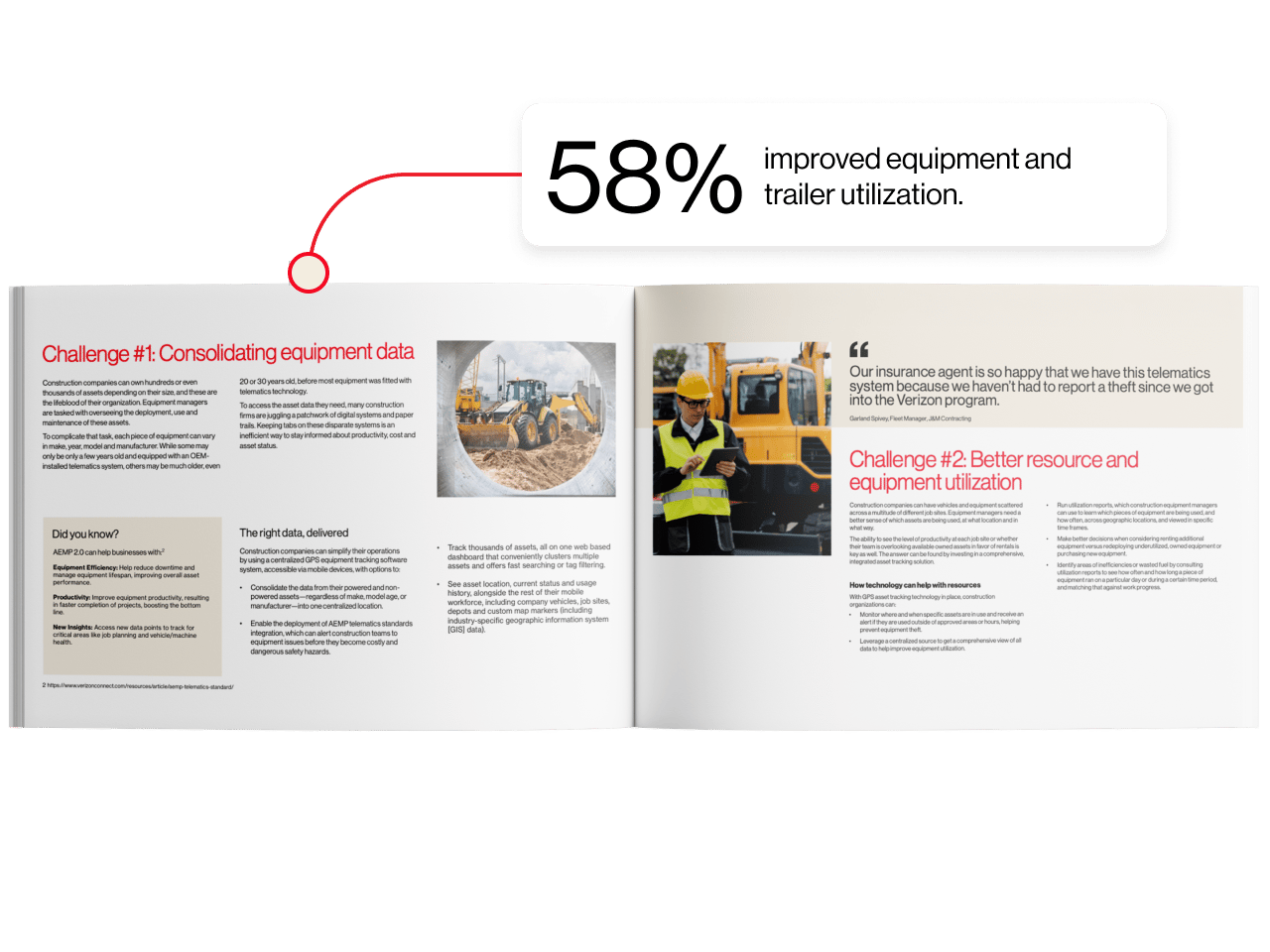
- Streamline operations using built-in AEMP telematics standards and custom GIS map layer integrations